MapEM RF Electromagnetic Field Level Maps
MapEM RF Electromagnetic Field Level Maps
Supplied across UK & Ireland through APC Technology Group.


MapEM Electromagnetic Maps – Assessement of exposure levels over large areas of cities or territories
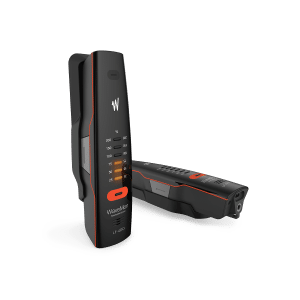
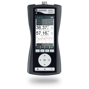
The Wavecontrol MapEM system consists of a MonitEM monitoring device and control software. The MapEM creates a comprehensive map of electromagnetic field levels covering a large area, such as a city. The monitoring device can be easily installed on a vehicle to measure the electric field strength (V/m) as it drives around streets, providing a clear view of the RF field levels throughout the area.